How Austin's East Side Food Access Gap Is Costing Residents Their Health
USDA data flags six Austin ZIP codes as low-income, low-access corridors. For car-free residents in Dove Springs and 78724, reaching the nearest full-service grocery store means bus transfers and a…

USDA data flags six Austin ZIP codes as low-income, low-access corridors. For car-free residents in Dove Springs and 78724, reaching the nearest full-service grocery store means bus transfers and a round trip that can stretch to ninety minutes in triple-digit heat. Here’s what the numbers show, and what the programs filling the gap aren’t telling you.
On a Tuesday morning in late July, a resident of the Dove Springs neighborhood in Southeast Austin leaves her apartment before 9 a.m. to beat the worst of the heat. She’s going grocery shopping. This is not a quick errand. She walks six minutes to the nearest bus stop, waits for Route 7, transfers, rides again, then walks from the stop to the H-E-B on East Riverside Drive. Carrying bags back through the same chain of waits and walks takes the better part of two hours. By the time she gets home, it’s past 100 degrees. She does this every week or two because she has no car, and because there is nothing close.
This is not an edge case. It’s a structural feature of life in several East and Southeast Austin ZIP codes, and it’s getting worse. As gentrification pressure in the historically Latino and Black neighborhoods closest to downtown pushes lower-income residents further east and southeast, the people most dependent on public transit are landing in the areas with the least grocery infrastructure. Austin’s overall grocery market is expanding. The gap is compressing.
Which Austin ZIP Codes the USDA Classifies as Food Deserts
The phrase “food desert” has a specific federal definition — it’s not just rhetorical shorthand. The USDA Economic Research Service uses census-tract-level data to identify areas that are simultaneously low-income (median family income at or below 80 percent of the area median, or a poverty rate of 20 percent or higher) and low-access, meaning a significant share of residents lives more than one mile from a supermarket or large grocery store in an urban setting. One mile. That threshold assumes car ownership or transit proximity that doesn’t exist in these neighborhoods.
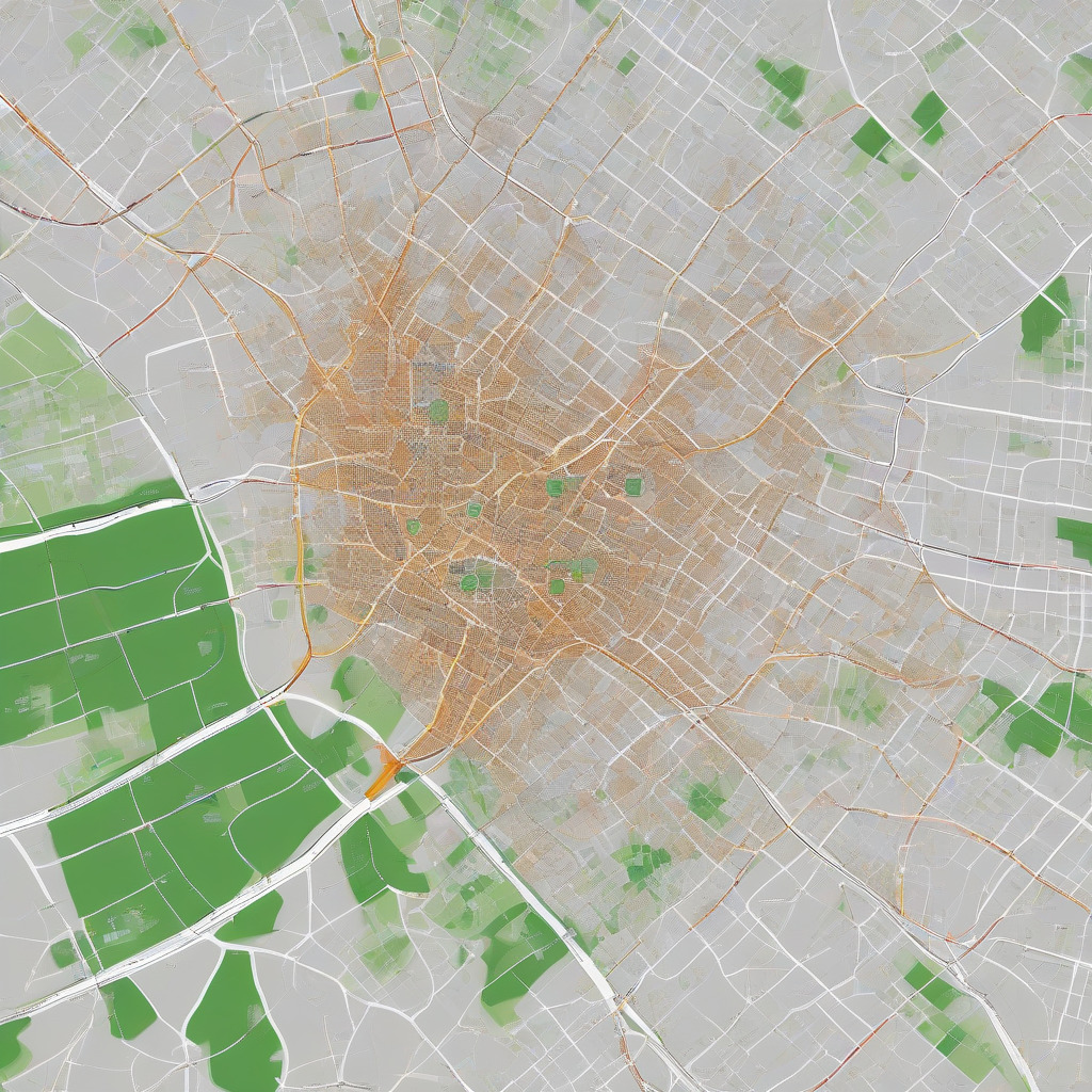
Applying that methodology to Austin produces a recognizable map. The ZIP codes that either fully qualify or contain flagged census tracts cluster east and southeast of Interstate 35.
78721 covers East Austin near Webberville Road out toward FM 969, with multiple tracts meeting both income and distance thresholds. 78724 — the Northeast Austin area along MLK Boulevard and Decker Lake — is among the most acute cases in the city. Residents there face some of the longest distances to full-service grocery options anywhere inside the Austin city limits. 78744 encompasses Dove Springs and portions of Southeast Austin east of South Congress. It qualifies across multiple tracts and is one of the most densely populated underserved areas Austin has.
78747 and 78753 contain tracts that are partially flagged or under pending review depending on which supermarket data vintage is used — the Atlas updates on a lag, which matters when you’re trying to assess current conditions. 78702, the gentrifying East Austin ZIP closest to downtown, presents an instructive complication: rising incomes in some tracts have shifted scores upward even as longtime residents who depended on food assistance there have been displaced into 78721 and 78724, where conditions are measurably worse. The data may show improvement in a neighborhood that has simply exported its food insecurity eastward. That should bother us more than it apparently does.
Readers can look up their own address using the USDA Food Access Research Atlas at ers.usda.gov/data-products/food-access-research-atlas.
Where H-E-B Is and Where It Isn’t
H-E-B is Austin’s dominant full-service grocer by market share and community trust. Walk into the 51st Street store on any Saturday and you’ll see exactly how much this city has organized its food life around that brand. The two H-E-B locations East Austin residents most commonly use are 1825 E. 51st Street and 2508 E. Riverside Drive. Both sit at or along the inner eastern boundary. There is no full-service H-E-B east of Highway 183 in the 78724–78725 area. For a resident near Decker Lake or along the MLK corridor east of 183, the nearest full-service store is roughly four miles away — a distance that sounds manageable until you remove the car.
H-E-B has been expanding in Austin, though not where the need is greatest. The Brodie Lane location in Southwest Austin expanded its footprint. New locations have gone into areas with rising household incomes and strong car ownership rates. This is how large grocers operate: the economics of a full-service store require a customer base with enough disposable income and shopping frequency to support the model, and that calculus reliably points away from low-income neighborhoods. It’s not a conspiracy. It’s just how retail infrastructure works under current market conditions, which is almost more frustrating than a villain would be.
What fills the void in 78724 and 78744 is dollar stores. Dollar General and Dollar Tree locations operate in both ZIP codes, stocking shelf-stable goods at per-unit prices that often exceed what H-E-B charges in bulk. Fresh produce is minimal — a rack of bananas near the register, sometimes onions. Residents buying cooking oil or canned beans at a dollar store are frequently paying more per ounce than H-E-B shoppers buying the same items in quantity. It’s a tax on poverty that compounds month after month.
What CapMetro Actually Requires for a Grocery Run
The gap is sometimes dismissed as a car ownership problem rather than a transit problem. It’s worth being specific about what CapMetro actually offers residents in these ZIP codes, because the dismissal doesn’t survive contact with the schedule.
A trip from a central Dove Springs address in 78744 to the H-E-B on East Riverside requires boarding Route 7 or connecting through a transfer hub. Depending on the time of day, a realistic round trip runs 45 to 90 minutes with one or two transfers and walking segments at both ends. MetroRapid 803 serves the East Riverside corridor with faster north-south connections but doesn’t reach deep into 78744. Route 7 connects portions of 78744 to the Riverside H-E-B, but leaves significant residential blocks without walkable stop access.
The eastern portions of 78724, along MLK past 183, have even thinner service. A trip from that area to any full-service grocer requires transfers with headways that can stretch to 30 or 45 minutes mid-day. Sunday service is worse. Evening service, when many working residents prefer to shop, is worse still.
The heat is not a rhetorical point. In our health & wellness coverage, heat-related illness risk when temperatures exceed 100°F is a recurring concern for East Austin residents waiting at bus stops — not an abstract statistic. For elderly residents and those with cardiovascular or respiratory conditions, it’s a genuine medical risk — one that compounds the chronic disease burden already concentrated in these ZIP codes.
Readers can run their own trip scenarios at capmetro.org/planner.
What Mobile Markets and Farmers Markets Are Actually Delivering
The Sustainable Food Center is the most prominent nonprofit working on food access in Austin. Its Double Up Food Bucks program is one of the most meaningful tools operating in the city: SNAP recipients who use their EBT card at SFC-affiliated market stops receive a dollar-for-dollar match on fresh produce purchases, up to $20 per visit. Spend $20 of SNAP on vegetables and fruit, get $20 more. That’s actual money — the difference between a household buying fresh produce consistently or not.
The problem is location. The downtown Republic Square market isn’t practically accessible by transit for a resident in Dove Springs carrying groceries in July. The round trip is comparable in length and physical difficulty to the H-E-B errand itself. A program that works beautifully in theory can fail quietly in practice by being in the wrong place.
SFC does operate mobile distribution stops in underserved ZIP codes, and the Dove Springs Recreation Center has been a distribution site. But mobile market schedules change with the season and available funding — the spring schedule may not hold in summer or fall. Verify current stop times directly with SFC at sfcfarmersmarket.org or 512-236-0074 before making a trip.
The Austin Food Bank’s mobile pantry program serves the Northeast Austin and Rundberg area, covering parts of 78753 and adjacent tracts. The Food Bank uses a client-choice model at its main facility, letting families select food rather than receive fixed boxes. That distinction matters — it preserves some dignity and autonomy in a situation that strips away plenty of both. Current mobile stop information is at austinfoodbank.org.
Community Gardens: Long Growing Season, Longer Waitlists
Austin’s climate genuinely allows year-round food production. Warm-season crops run March through November. Cool-season greens — kale, chard, spinach — can grow through winter in Central Texas. A well-tended plot can produce meaningful quantities of vegetables across most of the calendar year. That’s a real advantage that most American cities don’t have.
Austin Parks and Recreation manages the city’s community garden program, with sites in or near several underserved ZIP codes. Dove Springs has a PARD-affiliated garden presence, as do sites near Rosewood and the Rundberg area in North Austin. Waitlist information is at austintexas.gov/department/community-gardens or 512-974-6700.
Two structural problems require naming directly. First, waitlists at popular sites run long — in some cases, multiple years. A family with immediate food insecurity cannot wait two years for a plot. That’s not a caveat; it largely defeats the purpose for the people who need it most. Second, maintaining a garden requires reliable transportation to get there, physical capacity to work it, and some cultivation knowledge. PARD and partners offer programming, but it’s still a barrier for households in crisis.
There’s also an administrative issue that doesn’t get enough attention. Community gardens are managed by Parks and Recreation, not by Austin Public Health or any dedicated food access agency. Questions about plot fees, SNAP/EBT acceptance for fees or plant starts, and ADA accessibility all go to a department whose core mission is recreation. Whether that’s the right administrative structure for a food security program is a question the city hasn’t publicly answered. It’s overdue.
What Travis County Health Data Shows East of I-35
The food access gap shows up in the body. Austin Public Health’s Community Health Improvement Plan and Travis County health data show a consistent pattern along the I-35 divide. Diabetes prevalence in East Austin census tracts runs above the county-wide average. Hypertension rates in Dove Springs and the Southeast Austin area are elevated compared to West Austin neighborhoods. Obesity rates track the same east-west divide even as Austin’s overall figures remain below the Texas state average — which means the disparity inside the city is steeper than the city-level numbers suggest.
CommUnity Care, which operates Federally Qualified Health Centers including the East MLK and Rundberg clinics, serves a patient population that disproportionately lives in the food desert ZIP codes. When a patient can’t consistently access fresh vegetables, the dietary component of diabetes management becomes functionally impossible regardless of medication compliance. You can prescribe lifestyle changes; they don’t happen without a grocery store. People’s Community Clinic serves a similar East Austin patient population and has publicly noted the same connection between food access and the chronic disease burden its patients carry.
Austin Public Health conducts food environment assessments as part of its CHIP process. The disparity is documented in city and county records. The gap between documentation and action is, at this point, its own kind of policy choice.
What the City Is and Isn’t Doing
Austin’s policy response to its food desert geography is fragmented. Austin Public Health funds nutrition programs and operates some community health worker outreach. PARD manages community gardens. The city partners with SFC and the Austin Food Bank through grant mechanisms. There is no single coordinated city plan that names the East and Southeast Austin grocery gap as a target, sets measurable access benchmarks, and assigns accountability for closing it. That’s not an oversight. That’s a choice, even if nobody at City Hall would frame it that way.
The displacement dynamic makes this more urgent. As higher-income residents and new development have moved into 78702 and adjacent inner East Austin tracts, lower-income families — mostly renters — have moved into 78721, 78724, and 78744. They’re moving away from existing food infrastructure without triggering any compensatory investment in the areas where they land. Austin’s 2023 Strategic Housing Blueprint addresses housing affordability and displacement in general terms. It contains no food access provisions and doesn’t require food environment assessment as part of affordable housing siting decisions. That’s a gap you could drive a grocery truck through.
The question Austin’s city leadership hasn’t answered is this: as the grocery market expands into Mueller, the Domain, and Southwest Austin, what’s the plan for the ZIP codes USDA data has flagged as persistently underserved? What happens to residents being pushed further from food infrastructure by market forces the city’s own housing policies haven’t contained?
Resources Available Right Now for East and Southeast Austin Residents
For residents who need food access support today. Schedules and eligibility should be confirmed directly, as they change seasonally.
Nearest H-E-B locations: H-E-B E. 51st Street, 1825 E. 51st St. H-E-B East Riverside, 2508 E. Riverside Dr., accessible via MetroRapid 803.
Sustainable Food Center — Double Up Food Bucks: Dollar-for-dollar SNAP match on fresh produce, up to $20 per market visit. Verify current mobile stop schedule and Dove Springs Recreation Center dates at sfcfarmersmarket.org or 512-236-0074.
Austin Food Bank mobile pantry: Northeast Austin and Rundberg stops. Current schedule at austinfoodbank.org.
WIC services: CommUnity Care operates East MLK and Rundberg clinics. Call 512-978-9015 or visit communitycaretx.org.
SNAP/EBT applications: Texas Health and Human Services at yourtexasbenefits.com or call 2-1-1 for navigation help.
Austin PARD Community Gardens: austintexas.gov/department/community-gardens or 512-974-6700.
USDA Food Access Research Atlas: ers.usda.gov/data-products/food-access-research-atlas.
CapMetro trip planning: capmetro.org/planner.
The woman leaving Dove Springs before 9 a.m. is working through a system that wasn’t designed with her in mind and hasn’t been reformed to account for where she lives now. The data describing her situation is public. The programs meant to help her are real but partial. The city’s responsibility for the gap between them remains unacknowledged in any coordinated policy. That’s the story. It doesn’t require complicated analysis. It just requires telling honestly.